


GIS methodologies: tools that allow to gather and interpret geographical data at different levels.
Most of us in the security sector are well aware of the deep implications that information gathering systems have in our jobs and our practice. Most of the dynamics and tools that are related to information have a great influence on the environment we work in.
This is not only true for the security sector, where most of the informative flow regards the act of gaining data, analyzing them and sharing the evaluation in order to take strategic and tactical decisions.
Our interest in this article will focus on a very important set of tools that allow to gather and interpret geographical data at different levels. In order to do so, we had the opportunity to plan an interview with an Italian senior expert of the GIS methodology, Mr. Giuliano Ramat.
Ramat is a renowned expert in the theme, normally is job does not involve security studies but he focuses and work mainly for the Rural Development sector providing also training in the humanitarian field.
The great knowledge and technical ability that concerns GIS can be transferred to any kind of professional field and application. GIS stands for Geographical Information System.
Moving to the questions that Mr. Ramat answered we will present the as follows:
- Ramat, could you give me a brief explanation of you educational and professional background?
Yes, I will try to summarize my twenty years’ experience in the sector of international cooperation projects:
First of all, starting with education: I have studied forestry sciences as my main degree and afterwards I decided to specialize and took up the Professional master’s degree in geomatics held by the IAO (Istituto Agronomico per l’Oltremare) in Florence. I have dedicated most of my research to the study of natural resources on the field.
I have been mapping the needs and diffusion of most typologies of natural resources on very different fields all over the world. In particular I focused on Rural Development international projects in the cooperation sector.
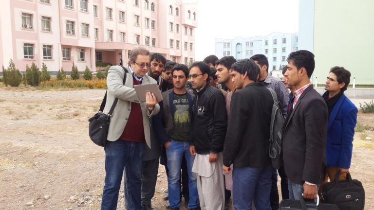
In these years of my career I was able to work for very different organizations and stakeholders such as the AICS, the national cooperation agency of the Italian government. As many professionals in the sector, I was also part of technical teams with various NGOs mainly in Northern Africa and Central Asia, some of my most ambitious projects were developed in Pakistan and Afghanistan.
Most of my current job also regards training. My deep passion for education and transmission of my knowledge to my students normally make me a good teacher.
- Can we discuss about the different possible applications of the GIS methodology?
GIS methods can be applied to every element that has got, in its inner nature, a geographical collocation in space. The methodology requires that we work on some kind of map, a baseline layer on which we can apply meanings and represent various kinds of information.
GIS is, first of all, a tool which supports the professional that uses it. It’s not magic, nothing is “automatic”, regardless of the main misconceptions existing in relation to the IT world. GIS also fosters a true and pragmatic interdisciplinary push since each sector of knowledge recognizes interest in geospatial data.
Gathering, analysis and publication are the main phases that GIS data go through during my job. As frequent, everything starts on the field and proceeds in the hands of the professional teams that work on it.
Raw data can derive from direct sources (coordinates gathering on the field for instance) or from pre-existing material.
There are numerous and heterogeneous projections in the GIS files so there are also different manners of interpretation. Normally even Open Source sources allow us to produce good quality and precise final works.
Our responsibility as GIS experts is to gain the raw data from the chaos of the field and to work on them to give to stakeholders the right tools to understand the situation and take important decisions in adequate quantities of time.
- Going to the main reason for this interview, let’s talk about information, which kind of data can we gather through GIS applications?
Applied GIS can help the work of humanitarians in many different ways and fields. It’s main advantages are due to the possibility of being usable during project implementation but also an mainly in the ex ante or ex post phases for M&E.
Along with the advantage of using GIS we can say that it is particularly fast, direct and deeply reliable in many ways. Moreover, the GIS products are extremely intuitive and easy to consult, present and compare to other kind of documents.
Normally, as stated before, GIS is used in the humanitarian and international cooperation fields to gain information and demonstrated theories or ideas about social, environmental, cultural, infrastructural levels and this is just to name few on the top of my head.
The kind of raw data we can gain with GIS tools can deeply vary in their nature so it is close to impossible to give a broad definition of what we can gather. It mainly and mostly depend from the application and the field we are working on and the scope of our research.
- About the actual cyber tools you use in your job, could you name some of the most valuable open source resources out there?
For sure, we shall take note that, as it happens in the computer science environment, open source software are the most relevant tools we can rely on for our research needs. The online community shares directly the programs along with tips and documentation for every resource.
–GVSIG and QGIS are both very valuable tools we can download for free and start to learn even alone. Other than these, there are many different software solutions such as the following:
– KODO TOOLBOX and KOBO COLLECT
– Q FIELD and GVSIG Mobile
– HOT tool
– JOSM
These resources all differ in some way from one another or have a limited range of possibilities and should therefore be completed in their function with other tools. There is also a huge possibility of integration between these kind of resource and other mainstream online tools such as google maps or google earth.
- Training must take an immense importance in this field. Would you please tell me what training new professionals means for you?
Yes, I am a deeply passionate professor when I work for my courses. Firs off all it is very important to state that training others requires professionalism, experience and deep focus on the needs of the students and the sending organization.
Since I organize and host courses both at a “corporate level” for NGOs and custom courses and training programs I have to deal with the fact that most students will not have the perception of what they have to learn to efficiently operate in the demanding environment of the field with the constant pressure of a certainly dynamic workplace.
It is my duty to ensure that not only the technical elements get correctly conveyed to the student but also the deep conception of constant information sharing with the peers and colleagues since this is a major aspect of the job of a GIS professional.
It is true that basic knowledge in GIS only requires few hours but a deep understanding not only requires month but yet, years of practice. It is a method, in some way a tool but our knowledge behind the tool is what mostly influences the technical aspect. As in many other technologically influenced sectors, also the GIS field highlights a need for humanization.
We deeply thank Dr. Ramat for sharing his background, experience and knowledge with us on Security Anthropology. We are always honored of having such top class guests on the website.
In conclusion, there are few important elements that we can learn from the GIS experience shown by Mr. Ramat:
- The deeply adaptable nature of this methodology
- Raw data transformation capabilities to analytical reports
- Field based importance of the research typology
This methodology, which is gaining more and more important in the humanitarian field vacancy calls, should definitely be considered in the “arsenal” of security managers for future applications in the security field.
Andrea Silvestri
for Insider Release
Do you want to tell us something?
Contact:


More Stories
Private Security And The Military – A Comparison
The Importance Of Intelligence In Today’s World
Coronavirus Impact On World Health, Safety And Security